Various Surveying Services
Survey Overview
– Offices: Radford and Wise
– Staff: 2 Licensed Surveyors; 9 Total Staff
– Award Winning Excellence
– 2012 – 2016: Virginia Association of Surveyors ñ Statewide Survey Plat Contest ñ Exemplary
– 2014 – 3rd Place Nationally
– Surveying Capabilities (Toolbox)
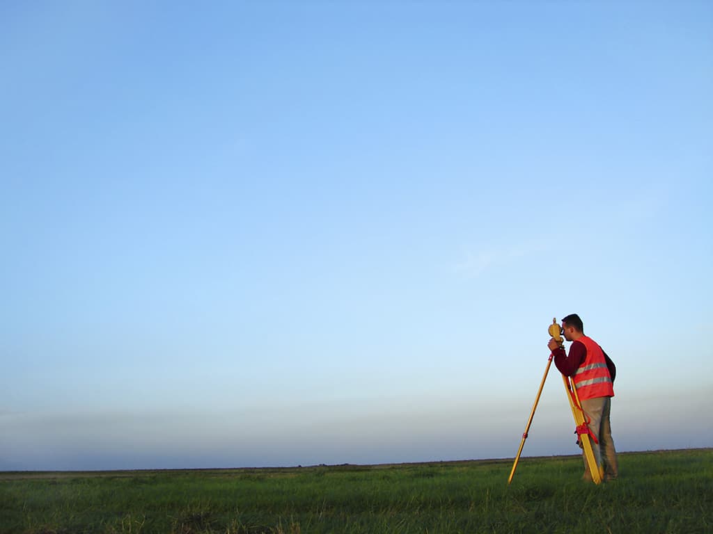
– Field Crews – Latest Conventional and GPS Equipment
– Office Production Staff – Experts in AutoCAD, Microstation, Others
– Adjustments of GPS Networks with Least Squares
T&L Surveying Services
– Boundary
– ALTA
– Construction Stakeout
– Topographic
– Aerial – LIDAR/Conventional
– Plan-Profiles
– Design Surveys
– Easement Plats
– Well/Utility/RW Plats
– Line Marking
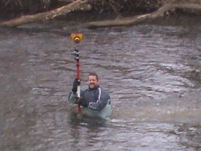
– Streams/Wetlands Delineation Location Surveys
– GIS
– Pond Volumes
– Waterway Crossings
– Dam Inundation Surveys
– Conservation Easement Plats
– Aerial Mapping Control
– GPS Control Network
– High Order Vertical Levels
– Machine Control 3D Modeling
– Expert Witness Testimony
– Accident Scene Insurance Surveys
Photos

Client:
Various Clients
Service Type:
Survey