Survey
- Boundary
- ALTA
- Construction Stakeout
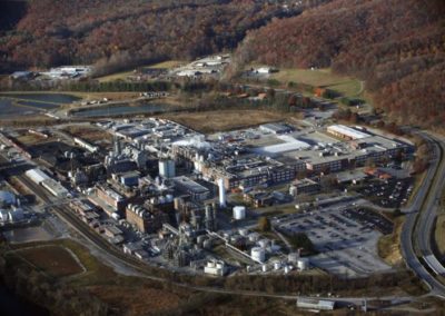
- Topographic
- Aerial – LIDAR/Conventional
- Plan-Profiles
- Design Surveys
- Easement Plats
- Well/Utility/RW Plats
- Line Marking
- Accident Scene Insurance Surveys
- GIS
- Pond Volumes
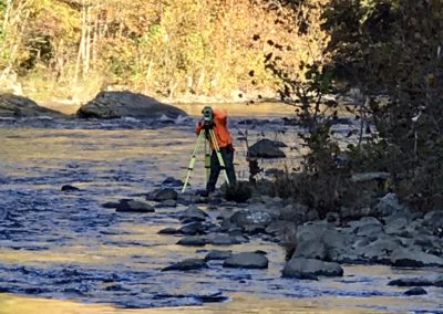
- Waterway Crossings
- Dam Inundation Surveys
- Conservation Easement Plats
- Aerial Mapping Control
- GPS Control Network
- High Order Vertical Levels
- Machine Control 3D Modeling
- Expert Witness Testimony
- Streams/Wetlands Delineation Location Surveys